

Ukrainian developers have created online maps for tracking air alarms simultaneously in all regions
Two Ukrainian developers have created online maps of air alarms, where you can conveniently view the status of sirens in all regions at the same time. This format undoubtedly deserves attention and can be useful to many.
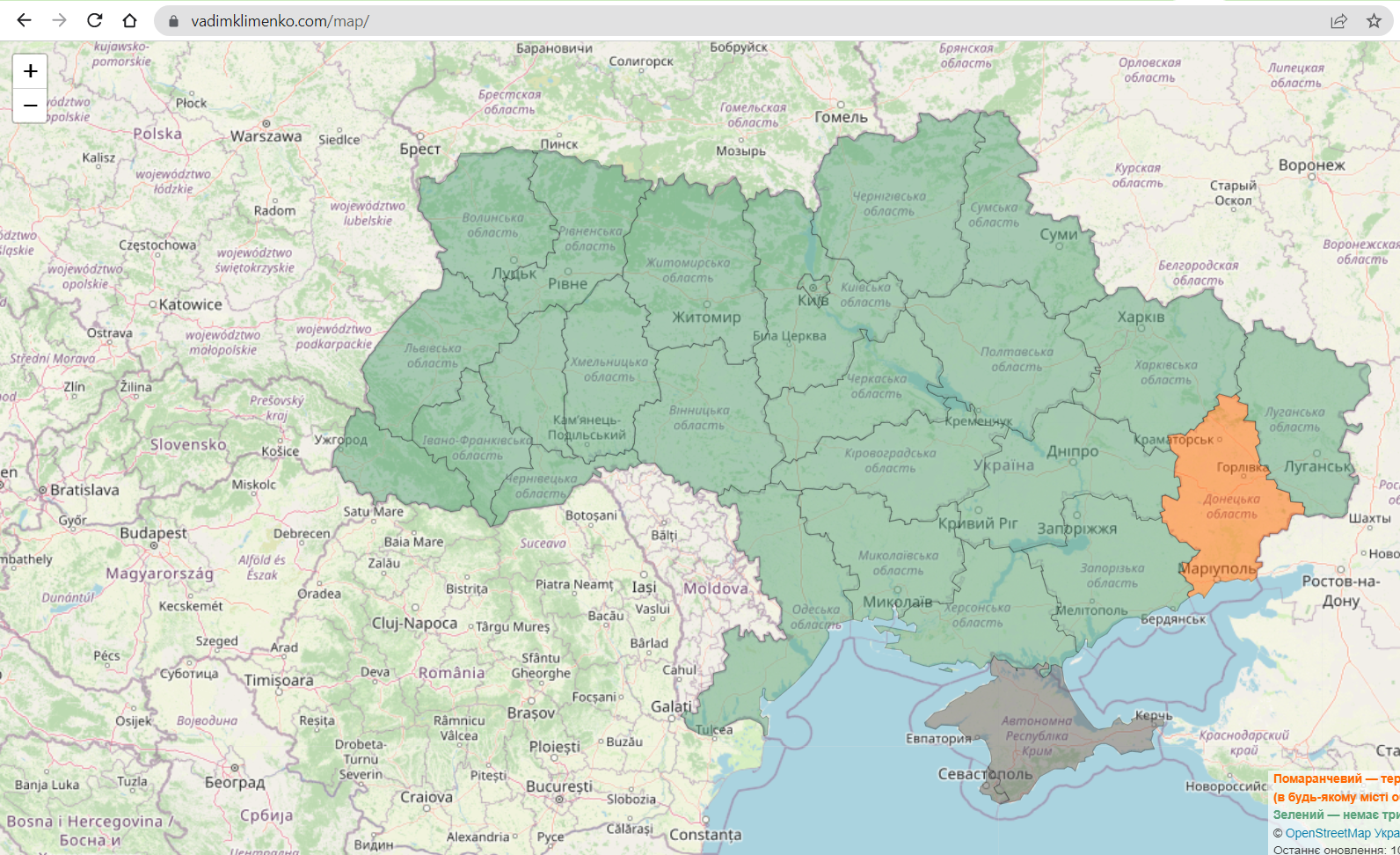
Now we know about two such maps:
- Map of sirens by region. Its developer is @vdmkin
- Map of sirens of Ukraine by districts and regions. Its developer is @ _ _ gm__.
Both maps are updated automatically — every 20 seconds. Areas where there is an alarm and there is a danger of airstrikes are highlighted in orange or pink.
Both services pull up data on air alarms from the Ukrainian state warning system and the official Telegram channel “air alarm”. Now the application “Air alarm”, which is being developed by Ajax Systems teams and stfalcon.com along with system alerts, Air alarms in Android remain the most popular and reliable ways to track sirens during wartime.